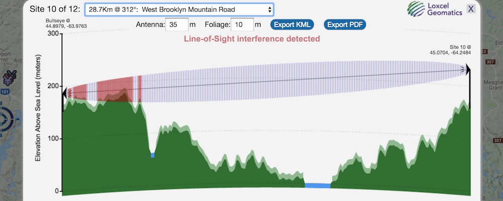
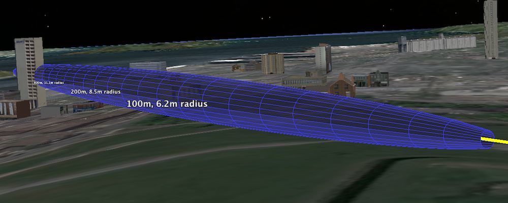
Automated Fresnel, Topography & Path Loss — quickly identify best sites
Most accurate information on Canada, Australia & New Zealand's cellular & wireless broadband networks
Learn more:


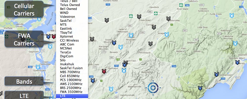
Carrier, band, LTE & other filters offer insightful perspectives
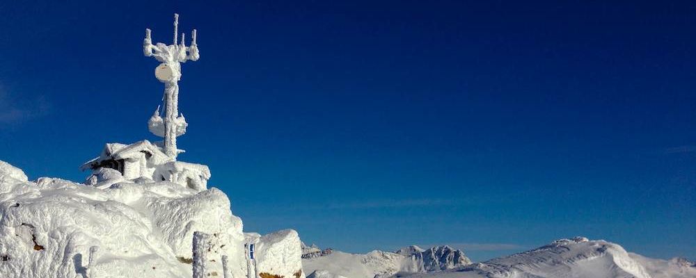
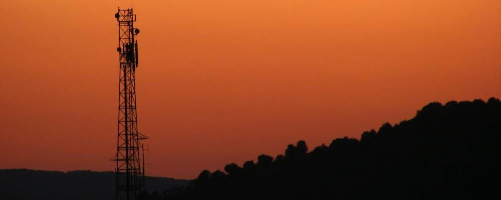
One of our 80,000 cellular & wireless broadband sites
Learn more:
Need more information?
Testimonials
- Thanks again for your efforts as always, it is amazing working with you!
- Service very useful for customer quotes. Most likely extending subscription
- Your service is invaluable
- The site response time is fantastic and commend you for that.
- A great help when trying to find the best wireless signal.
- We love using Loxcel's Canadian cellular map.
- Many thanks for such excellent Customer Service and information.
- The service you provide is fantastic.
- Thank you for everything. Great customer Service!
- Thoroughly recommend this tool ... quick and easy to use.
- Extremely impressed by your service. ... Superbly crafted.
- Closest Sites will help in planning path losses with cellular.
- A powerful imaging tool to help us foresee troubles in our line of sight paths ... never fails to impress those who don't quite understand just how involved a site survey is and how unforeseen obstacles can interfere with a reliable wireless link.
- Helped us coordinate network border sites with other carriers
- When I am looking to solve a booster problem, Canada Cellular Services is where I start. It is also a tool valued by many of our Canadian dealers in pre-planning an installation.
- Per usual thanks for your great service.
- We're excited about the new closest sites feature. Your service provides us with the best.
- Cellular Services should become part of the installers tool box when planning an installation.
- The topographical graph ... can potentially help to avoid onsite visits and consultation.
- Your new topographical feature is great! Good work.
- The most valued tool I have in my day to day work.
- It told me more in a few seconds than an hour I spent looking before.
- Canada Cellular Services was so useful troubleshooting coverage problems.
- Canada Cellular Services was very helpful during the development of our new wireless facilities protocol.
- More...
Copyright ©2024 Loxcel Geomatics. All Rights Reserved & Thank you for stopping by.